

Esri has partnered with AppyWay offering its customers easy access to digital kerbside data for the first time.
The move allows local authorities to understand the UK’s complex kerbside restrictions when planning active travel, and low carbon initiatives, including EV charge point, e-scooter or cycle hangar projects.
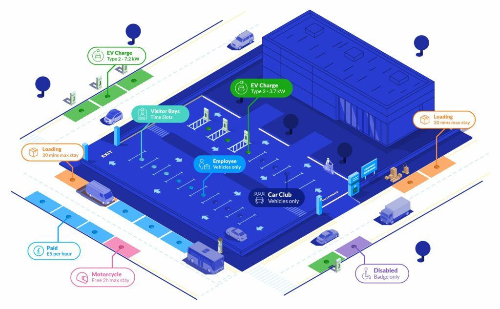
AppyWay provides digital maps of the kerbside, showing traffic regulation orders (TROs), such as on-street parking, permit parking and yellow line restrictions, across 500 towns and cities.
Integrating into Esri geospatial applications, data from AppyWay adds another dimension to existing information, helping local authority planning, highways and traffic teams make decisions on how best to use their street space.
Tom Brown, Spatial Information Manager at Lambeth Council, who is using the technology, said: “The new partnership allows our organisation to maximise the benefits of accurate kerbside and roadway information, as well as wider GIS analysis alongside existing geospatial data.
“Crucially, AppyWay’s approach also ensures resources do not have to be devoted to ongoing manual data management, meaning that once established, data is automatically and instantly available to our Esri ArcGIS users across these and any future projects, as well as being deployable in other software platforms.”
Dan Hubert, CEO and Founder of AppyWay, said the partnership added “significant value” and allowed local authorities to unlock “the full development potential of the kerb.”
He said: “AppyWay data is the ‘digital grease’ for creating new, low carbon on-street services and achieving the optimum ROI for this finite amount of real estate. Our partnership with Esri UK means local government can benefit from improved access to kerbside information to make better decisions in their transition to net zero.”
Laura Dean, Partner Manager, Esri UK, said the deal meant data was in “the hands of those who need it most”.
She said: “Esri UK customers can now take advantage of AppyWay data in their workflows, using it in maps, apps and dashboards. Bringing this intelligence into the ArcGIS system adds critical context to decision making, helping local authorities plan more effectively and create a more sustainable future.”
Image from Esri and AppyWay