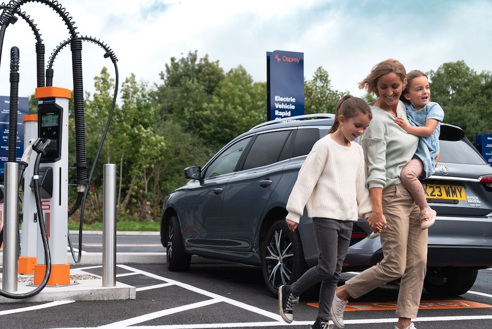


Ordnance Survey (OS) is inviting developers, data scientists, and problem solvers from a variety of backgrounds to address the key infrastructure and planning challenges hindering the adoption and mass roll out of electric vehicles (EVs) across Britain.
Ordnance Survey (OS) is inviting all developers, data scientists, designers and storytellers to participate in a two-day virtual hackathon on Wednesday 6 October and Thursday 7 October.
One of the biggest challenges facing the world is sustainability and reaching carbon net zero, as proven by the latest Intergovernmental Panel on Climate Change (IPCC) Report that showed human actions were changing the climate in unprecedented ways. In response the world needs to come forward with ambitious emissions reductions targets by 2030.
OS’s free OS hackathon event wants to bring programmers’ talents together to create ideas that tackle the challenges around the successful roll out of electric vehicles (EVs) across Britain in coming years.
Obstacles such as EV infrastructure in rural locations being left behind compared to urban areas, where to locate off-street car charging points in residential streets, and how to convince car owners to switch over to EVs are challenges that have to be addressed by 2030.
OS API Product Manager, Charley Glynn, said: “If Britain is to meet its carbon net zero targets in the next nine years, then difficult puzzles have to be solved in the EV and transportation market.
“For instance, how are we going to be able to manage the needs of potential EV owners who need to charge their car at home but live on the top floor of a block of flats, or planning car charging points in a terraced street where parking spaces are already in short supply? That is why we have decided to run the OS Map and Hack virtual hackathon.
“We are providing the platform and premium data. In return we want to bring as many bright minds together as possible and pool their problem-solving skills together for these challenges to see if innovative solutions can start to be shaped.”
The hackathon will focus on four key challenges:
- how to level up EV infrastructure planning for local government in remote communities?
- what is the demand for charge points for electric vehicle fleets and where do they need to be developed?
- how can geospatial data contribute to changing behaviours among non-EV owners?
- open innovation – what other sustainable concepts can be created using geospatial data?
Participants can enter as individuals or teams, with the aim of collaborating towards building a geospatial data solution to the problems.
OS will provide the platform and on-demand access to all its premium OS data, along with full support from its team of GIS specialists.
Prizes are on offer and winners will receive collaboration time with OS technical consultants and geospatial experts, as well as Geovation memberships and a bundle of OS prizes.
Contributions will be evaluated by a panel of innovation and geospatial experts, who will look for the strongest and most innovative examples that make best use of OS data and APIs.
Image: Shutterstock